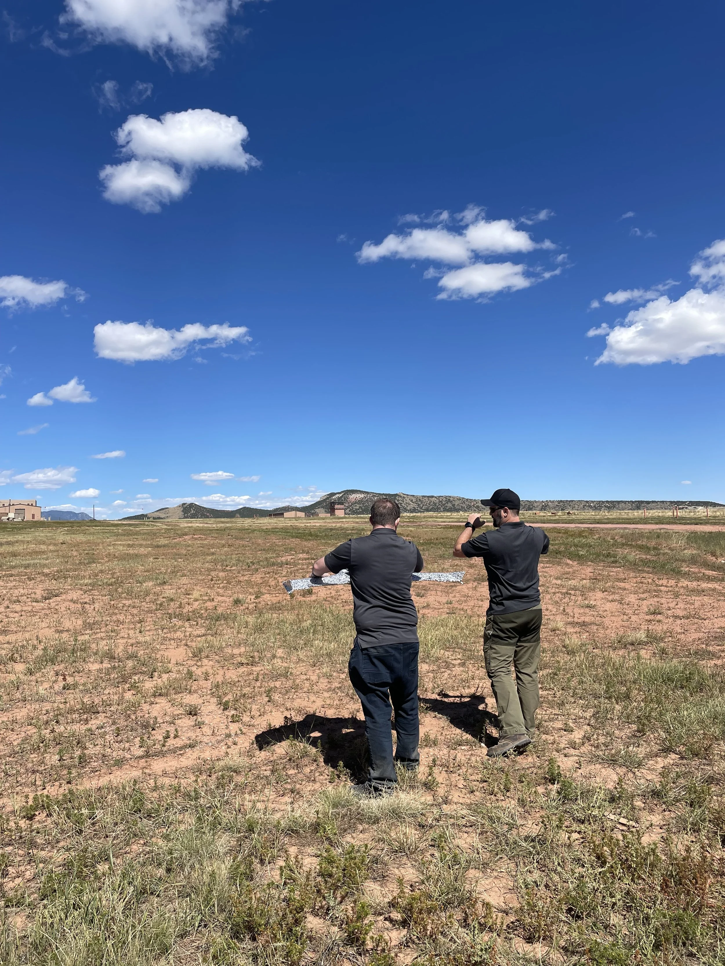
GeoAcuity, Esri, and PEO-STRI collaborate on high-resolution drone imagery collection at Fort Carson
September 22nd, 2023 - GeoAcuity team members alongside colleagues from Esri and U.S. Army PEO STRI traveled to Colorado Springs, CO to collect high-resolution drone imagery of Fort Carson in support of the US Army's PEO STRI Multi-Sensor/Source Data Processing Project. Utilizing two Blue Defense Innovation Unit (DIU) U.S. Government approved UAS’s (senseFly, now AgEagle eBee Tac RTK and Parrot Anafi USA) GeoAcuity successfully captured imagery of five separate areas of interest at Fort Carson along with high accuracy ground control points for quality control using the Eos Positioning Systems, Inc.® (Eos) Arrow Gold. In total the team captured over 19 km² of high-resolution geospatial data that will help to inform advances in 3D modeling/reconstruction and feature data extraction using Esri’s ArcGIS Reality.


