Geospatial data solutions for disasters
GeoAcuity offers end-to-end solutions for public safety and emergency management teams during disaster events, including support for UAV teams in rapid response mapping and damage assessment.
Field support and data management
GeoAcuity offers public safety and emergency management teams with crucial data support during disaster events, including pre-mission logistical planning and direct support in the field. We will work alongside teams to coordinate data collection and management of all imagery and other geospatial intelligence.. We offer web portal and dashboard design for situational awareness and progress tracking during deployments.
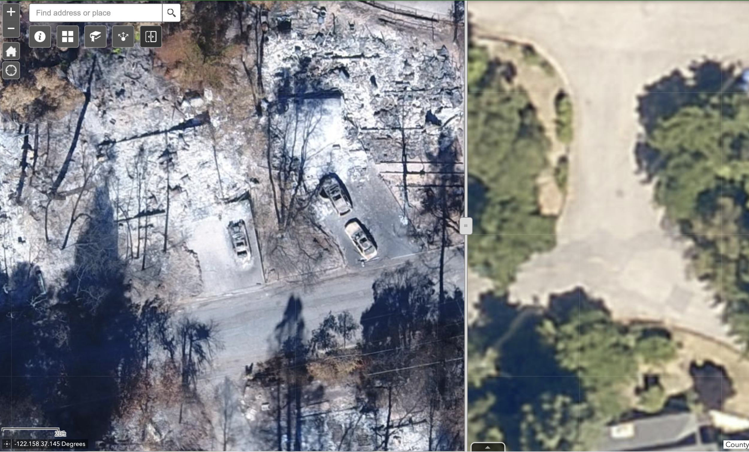
Rapid image processing
GeoAcuity provides rapid processing of UAV imagery into 2D and 3D data layers, including 3D models, digital surface models, topographic and orthographic mapping, point clouds, contours, and more. Our team has extensive experience with UAV imagery and a range of photogrammetric software. Processing can be cloud-based or offline as requirements shift during a disaster event.
Map production and visualization
GeoAcuity offers GIS solutions to support the visualization and sharing of crucial geospatial information. We merge 2D and 3D data layers layers into public-facing interactive web apps for sharing with multiple stakeholders or the public. Our media team will also create video tutorials for best practices in interpreting geospatial information and content support for public relations.
Examples from California Wildfires
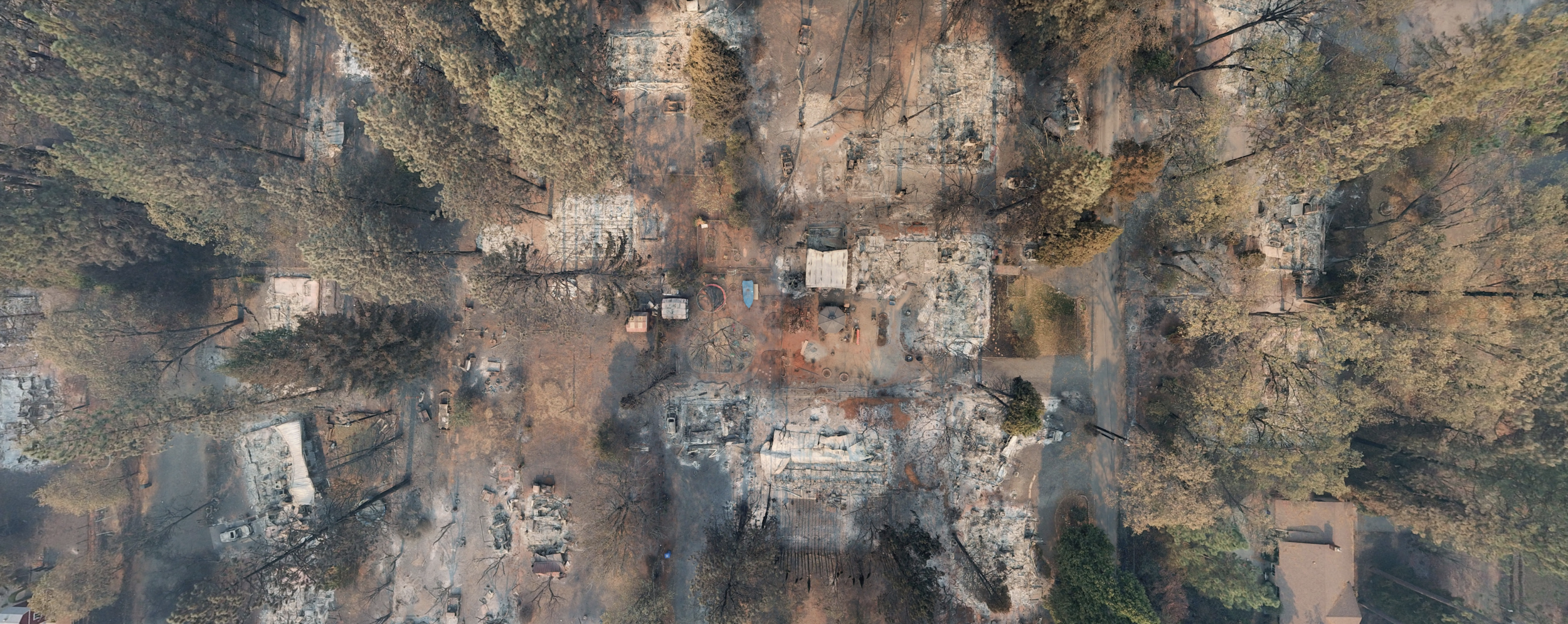
GeoAcuity supported a multi-agency task for of public safety UAV pilots in rapid aerial mapping in the aftermath of major California wildfires.


North Complex Fire
The fires within the North Complex began by lightning on August 17, 2020 and burned 318,935 acres and > 2400 buildings. Products and Maps generated:
360 Panoramas
2D Orthomosaics
Georeferenced Video
CZU Complex Fire
The CZU Lightning Complex fires were wildfires that burned in Northern California starting in August 2020 and > 1400 buildings. Products and Maps generated:
360 Panoramas
2D Orthomosaics


