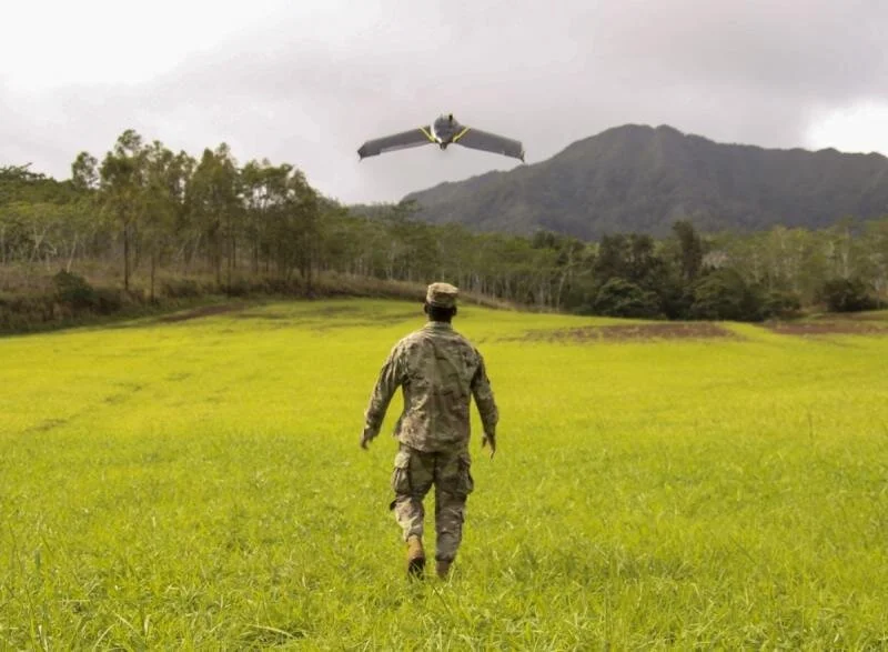
Soldiers’ Equipped with ‘Game-Changing’ Drone Technology
GeoAcuity is excited to be a partner with USC Institute for Creative Technologies on the US Army’s One World Terrain project. GeoAcuity’ s CEO Jason Knowles and ICT’s Terrain Collection Lead Luis Leal did outstanding work supporting the training of small units on flying and mapping high resolution UAS data as well as geospatial data processing and 3D visualization and analytics.
Read the full article: https://www.army.mil/article/243238/soldiers_equipped_with_game_changing_drone_technology

